Offline vector maps
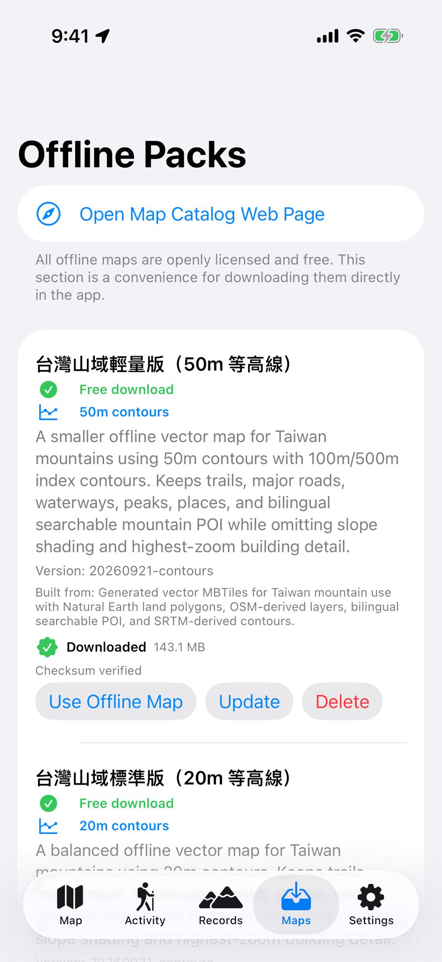
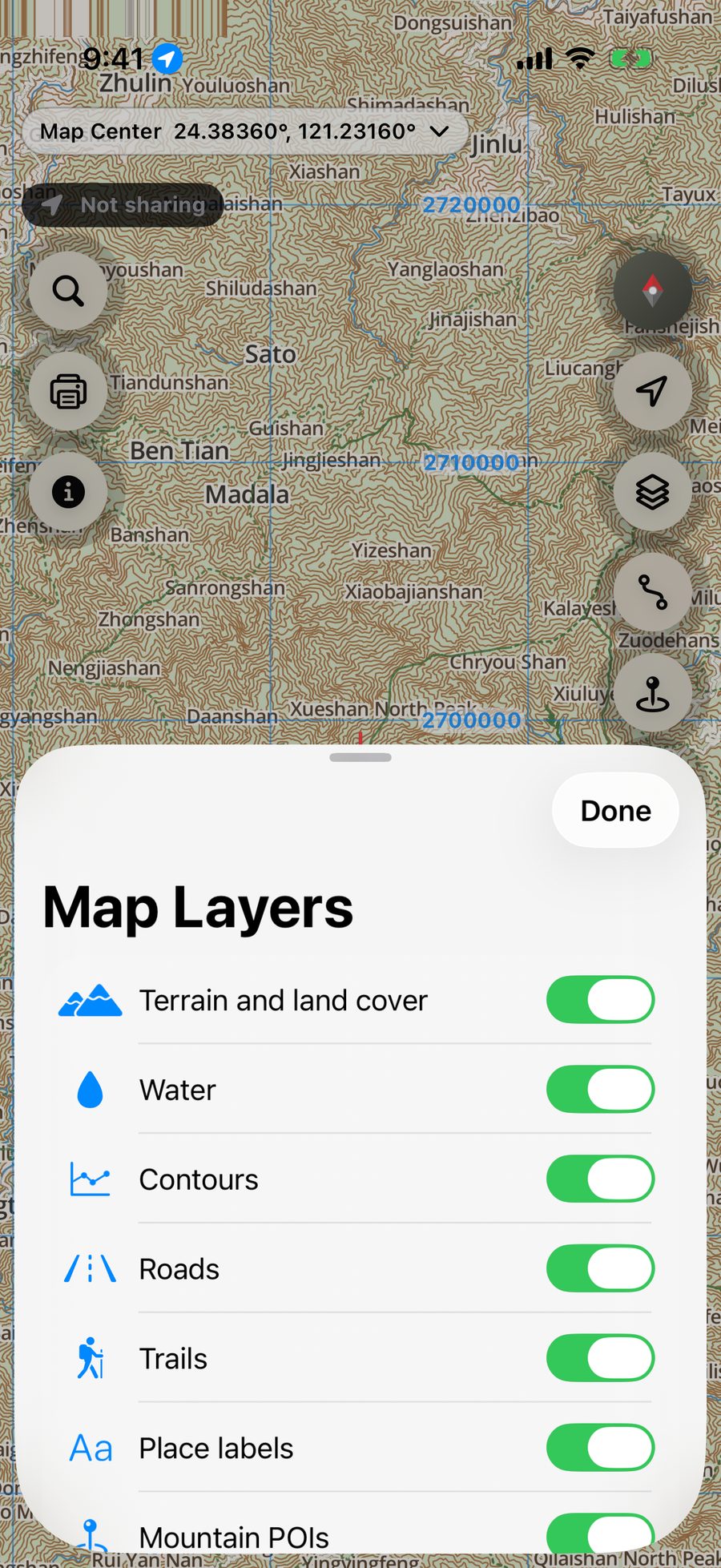
Download Taiwan mountain map packs and use them without a network. Choose 50 m, 20 m, or 10 m contour intervals with trails, waterways, peaks, and place names.
Learn more → Aki Map
TAIWAN OFFLINE MOUNTAIN MAP
Offline maps for Taiwan's mountains. Find trails, check your position, and prepare for every part of your hike.
SAFETY FEATURE STATUS
Trip sharing is available in the Aki Map app.
Download Taiwan mountain map packs and use them without a network. Choose 50 m, 20 m, or 10 m contour intervals with trails, waterways, peaks, and place names.
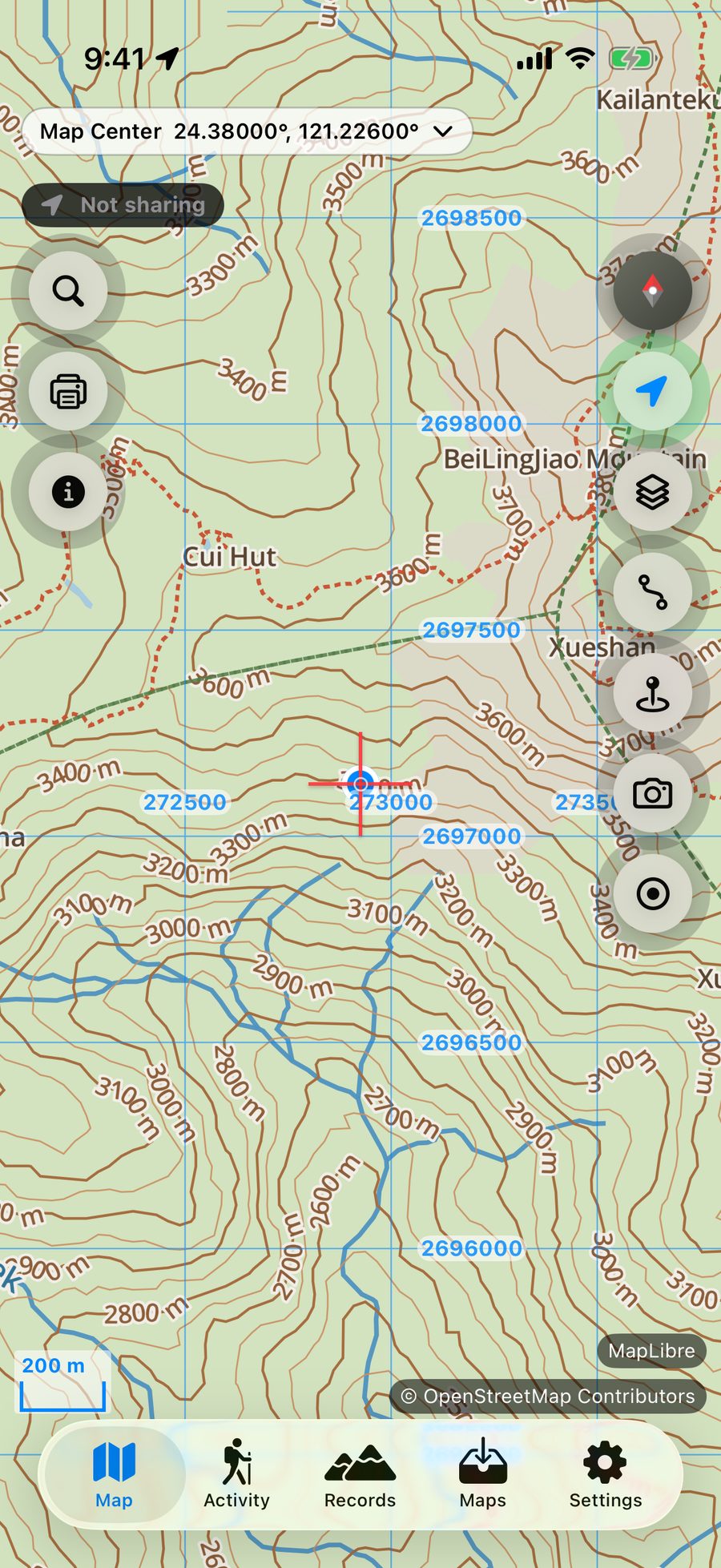
Learn more →See your position, heading, coordinates (WGS84 and TWD97), elevation, and accuracy. Get a vibration and sound alert when you stray more than 50 metres from a loaded route.
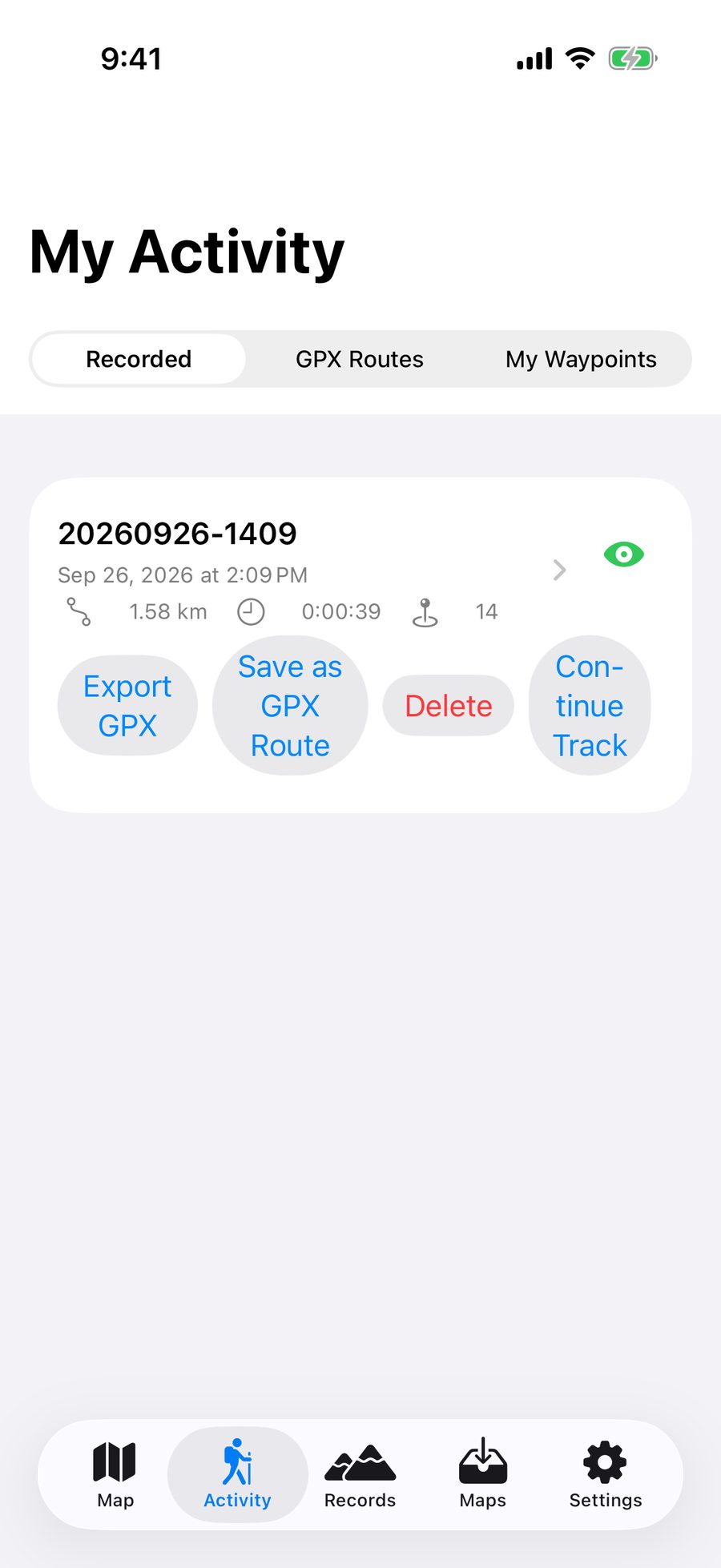
Learn more →Import GPX routes and record your hike, with background recording, automatic pause, distance, and elevation statistics.
Learn more →Keep a record of Taiwan's 100 Peaks and 100 Minor Peaks, with dates, notes, and photos.
Learn more →Use a location card, permit checklist, emergency contacts, and check-in reminders. These tools do not replace emergency services; call 119 or 112 for help.
Learn more →No account required. Tracks and records stay on your device by default. No ads, analytics, or third-party tracking.
Privacy policy →


Map information is for reference only. Carry a paper map, backup navigation, lighting, communications equipment, and enough power. Never rely on one device alone.
AI answers using the user guide and FAQ and may be wrong. Do not enter passwords or sensitive information. Conversations are stored; leave a message to request deletion. Call 119 in an emergency.