
Chapter 12 of 172 topics
Making a Brief
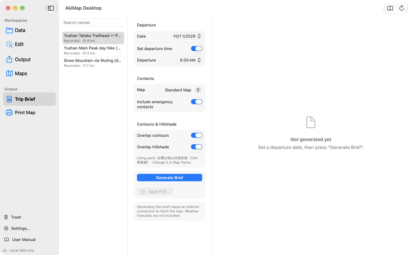
- Choose Output ▸ Trip Brief and pick a route.
- Under Departure set the date; turn on “Set departure time” and pick a time so the brief can estimate elapsed times and the margin before sunset.
- Under Contents choose the map style (Standard Map or Satellite Imagery) and whether to include emergency contacts and the weather forecast.
- Turn on contours and hillshade if needed (a map pack must be installed).
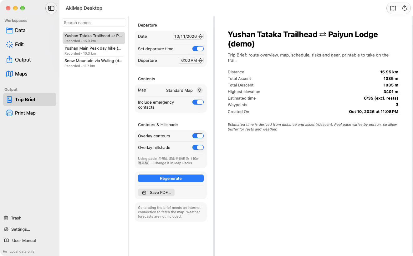
- Click “Generate Brief”, preview it on the right, then click “Save PDF…”.
What Is in the Brief
- Overview: distance, total ascent and descent, highest elevation, estimated time (without rests).
- Route map: start, finish and waypoints, with a blue TWD97 grid (kilometers).
- Waypoint and segment tables: distance, elevation, ascent, descent, grade and estimated elapsed time per segment, with the steepest one marked.
- Elevation profile.
- Sunrise, sunset and departure: calculated for the start point, with the latest departure (1 hour buffer) and a warning if you would finish after dark.
- Weather forecast (optional): the trip day's period forecast for the township at the start, the forecast point of a peak within 10 km, and the warnings at the moment of generating; it says so when the trip day is beyond the forecast range. See Weather.
- Risks and bail-out information, information to give when calling for help, a gear and supplies checklist, and mountain and park permits.
- Emergency contacts: taken from the iPhone's Aki Map settings through iCloud.
Screens may vary by app version. See Support and FAQ if you need help. Support