
Chapter 2 of 174 topics
Browsing a Track
- In the sidebar choose Data ▸ Tracks.
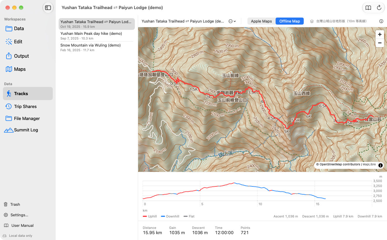
- Click a track in the list; the map zooms to fit the whole route.
- Under the map is the elevation profile, coloured by slope, followed by distance, ascent, descent, time and point count.
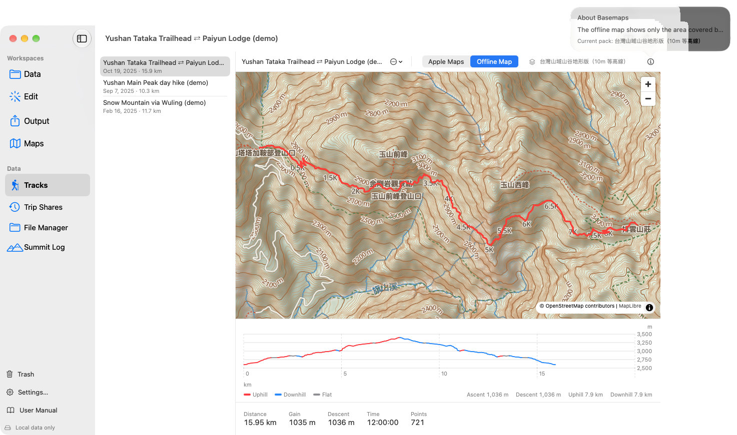
The offline map shows contours, hillshade and trails without internet, but only inside the area of an installed map pack. Without a pack you can only use Apple Maps.
Elevation Profile and Slopes
A round trip goes up and then down, so the profile colours each stretch by its slope to show at a glance where you climbed and where you descended:
| Colour | Meaning |
|---|---|
| Red | Uphill: steeper than 3%. |
| Blue | Downhill: steeper than −3% downward. |
| Gray | Level: within ±3%. |
Red
Meaning:Uphill: steeper than 3%.
Blue
Meaning:Downhill: steeper than −3% downward.
Gray
Meaning:Level: within ±3%.
- Under the chart are the Ascent and Descent totals and how many kilometers were uphill and downhill; the statistics row has Descent too.
- Ups and downs shorter than 0.15 km are merged into the stretch around them, so jittery GPS elevation does not chop the line into bits.
- The profile in Point Editor uses the same colours, the File Manager table has a Descent column, and the iPhone's track and route pages use the same colours and totals.
Rename, Duplicate and Delete
Use the ⋯ menu next to the track name above the map:
- Rename… changes the name; it syncs to the iPhone.
- Duplicate makes a copy (with photos and waypoints), handy as a backup before editing.
- Delete Track… moves it to the Trash for 30 days; you can restore it on the Mac or iPhone.
Basemaps and Coverage
Screens may vary by app version. See Support and FAQ if you need help. Support